Define the question
Establish airport, terrain and project conditions.
 工程的极限ENGINEERING / LIMIT
From airport safeguarding to catchments and site drainage, Jingjie and Huijie turn engineering questions into results that can be calculated, explored and checked.
Explore the timeline ↓Establish airport, terrain and project conditions.
Connect rules, spatial relationships and calculations.
Check cases, boundaries and regressions.
Use drawings, 3D views and results to explain the work.
V1.12 sample-airport charts and supporting outputs: about 119 seconds; time varies by data and equipment.
V1.13.0 safeguarding regression: 84 / 84 passed in the recorded run.
Selected capabilities and quality improvements, based on project records.
Control points support elevation calibration; uncalibrated datum uncertainty is included.
Runway profiles join seven charts organised as current, amendment and comparison volumes.
Window orientation, denser runway paths and area objects add detail to screening.
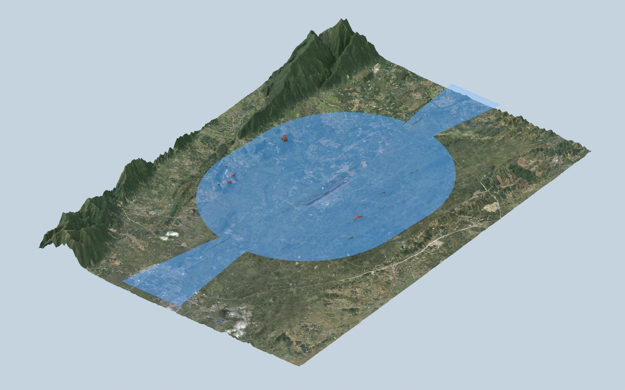
Explore obstacles, two sets of results and related provisions in a 3D view.
Improve terrain-data handling and automated checks while preserving calculations.
Analytical vector boundaries and contours support detailed chart review and editing.
Protection, limitation, difference and obstacle charts share a common model.
A unified release check brings catchment, flood and drainage tests together.
An interactive study makes surfaces and illustrative objects visible in a browser.
Sampling and summaries extend preliminary assessment to area objects.
Check nested sections, outlet locations and reference areas.
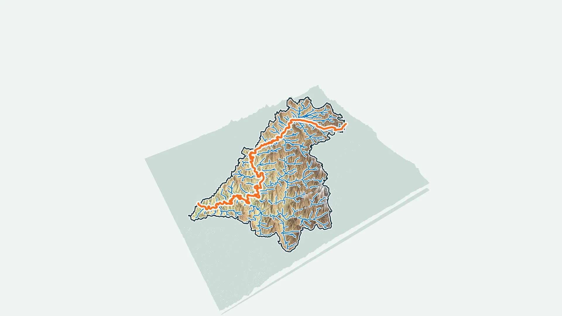
Extend terrain analysis and show rainfall, separated networks and downstream conditions.
Compare scenarios by time, observer location and reflection conditions.
Link catchment inflows to airport drainage and explore rainfall-event replay.
Link conduit-level calculations with infiltration, storage and rainfall events.
From catchments and flood estimates to airport site drainage, including SWMM.
Organise views by runway and surface, with synchronized comparison.
Explore cut areas, slopes, volume estimates and sensitivity.
A foundation for surfaces, obstacle assessment and spatial visualization.
Early milestones were reconstructed from work records.
ENGINEERING / LIMIT